
The Itanagar adventure creator and the tourism drone permit
Tage Riram is twenty-five years old and lives in a rented two-room flat in Naharlagun, the commercial twin of Itanagar in the Papum Pare district of Arunachal Pradesh. His channel — Nomadic Tage — has 240,000 YouTube subscribers, built over three years of solo trek-vlogging: Tawang Monastery in early mist, the Ziro Valley amphitheater during the music festival, the Mechuka circuit in October when the Siang River runs green and the poplars go gold. He shoots alone on a Sony ZV-E10 and a DJI Mini 3 Pro, sends hard drives every fortnight to Dhruv Sharma, a freelance editor in Guwahati who has cut every video since the channel hit ten thousand subscribers. Brand collabs twice a year — a camping gear label, a state tourism board, a trekking-boot importer — and YouTube ad revenue that runs ₹65,000–₹80,000 per month when the algorithm is kind.
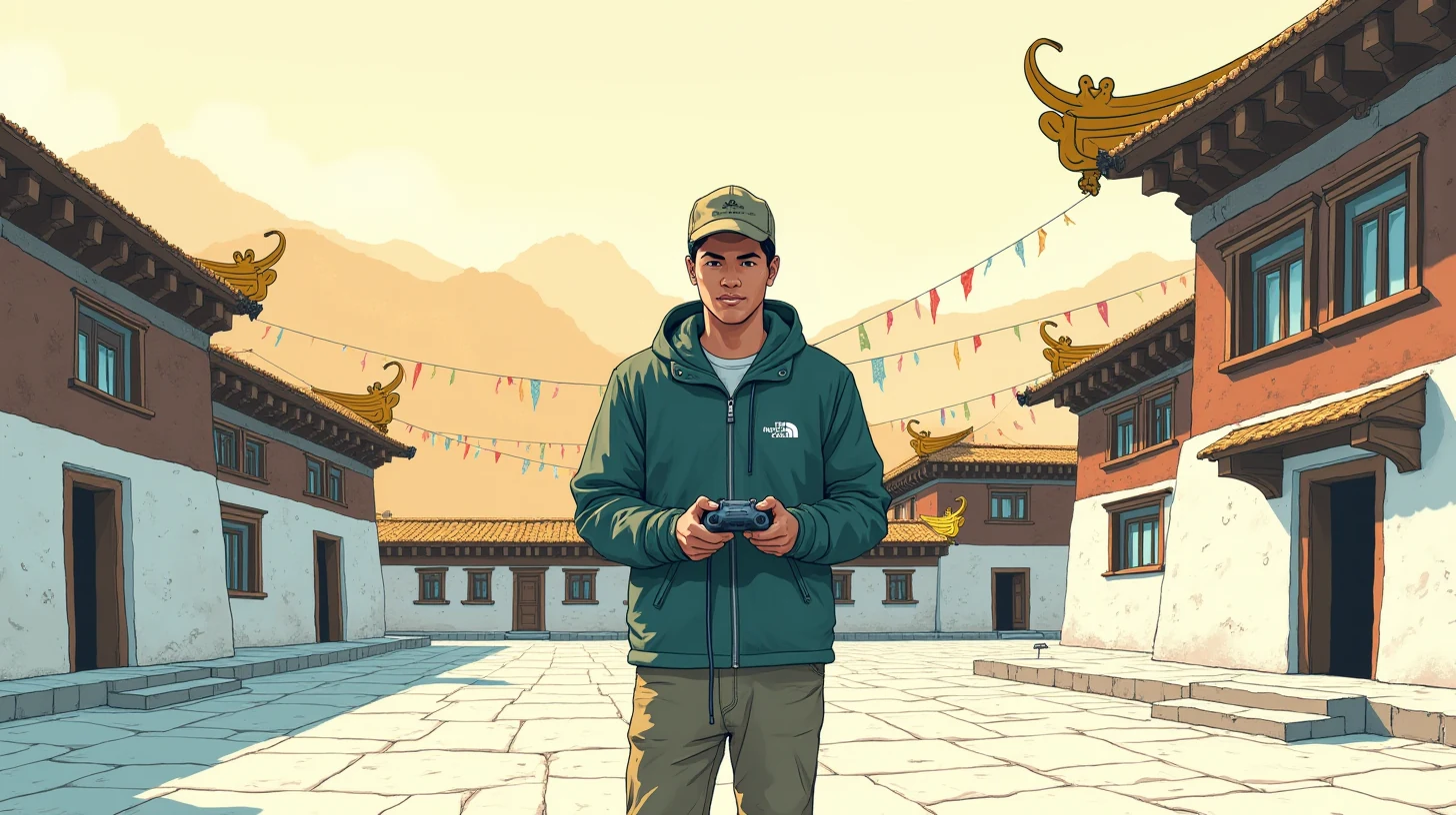
He is not a careless creator. He files GST, carries his ILP at all times, has never had a complaint from a forest department official or a monastery administrator in three years of shooting in Arunachal Pradesh's protected circuits. He is, in the specific way that made November's problem so bewildering, exactly the kind of creator who assumed he understood the rules.
In the third week of November 2025, he was at Tawang for a five-day shoot. On the fourth morning, at 6:40 a.m., with the monastery courtyard empty of tourists and the first light catching the prayer flags at the roof, he put the DJI Mini 3 Pro into the air for what he estimated would be a four-minute hover shot: the courtyard from directly above, the roofline in medium shot, the Himalayan range as a backdrop. The footage was exceptional. He landed the drone, packed it away, and spent the rest of the morning on ground-level interviews with two monks. He published the reel on YouTube that evening, tagged Arunachal Pradesh Tourism, and went to sleep.
The Tawang Police called at 9:17 a.m. the next morning.
🗓️ The drone rules that changed everything in 2021
India's relationship with unmanned aerial systems changed fundamentally on 25 August 2021, when the Ministry of Civil Aviation notified the Drone Rules 2021 (G.S.R. 589(E)) under the Aircraft Act 1934. They replaced a more opaque 2018 framework with a structured three-zone airspace system, mandatory platform-based permissions, and a specific prohibition on commercial drone operations without prior clearance. What the new rules did not do was announce themselves to every content creator flying a sub-250-gram camera drone over a heritage site in a border district of Northeast India.
The three zones are defined and enforced through the Digital Sky Platform at digitalsky.dgca.gov.in. The Green Zone is uncontrolled airspace up to 400 feet above ground level, at least 8 kilometres from the perimeter of an operational airport, outside prohibited and restricted areas — here, DGCA's Unmanned Traffic Management (UTM) rules ask only for registration of the UAS and operator. The Yellow Zone is controlled airspace — within 8 km of airports, within 45 km of international borders, or over specific restricted categories including archaeological monuments and heritage sites. A Yellow Zone flight requires a permission application submitted through Digital Sky at least 24 hours in advance; Digital Sky issues a time-limited, GPS-bounded approval that the operator must carry and be able to produce on request. The Red Zone is prohibited: within 5 km of operational military airbases, notified sensitive government buildings, State Secretariats, and — by specific DGCA notification — several heritage and pilgrimage sites along India's international borders.
- 📋
Step 1 — Register UAS and operator on Digital Sky
All UAS (including sub-250g Nano category) must be registered on digitalsky.dgca.gov.in. The operator receives a Unique Identification Number (UIN) for the drone and a Remote Pilot Certificate (for UAS above 250g). The DJI Mini 3 Pro weighs 249g — technically Nano category, exempt from UAOP, but NOT exempt from zone permissions or the Red Zone prohibition.
- 🗺️
Step 2 — Check zone classification on Digital Sky map
Before any flight, the operator must query the Digital Sky interactive map for the GPS coordinates of the proposed flight area. Tawang Monastery falls within a Yellow Zone (controlled airspace, border proximity) and a DGCA-notified restricted area — the Digital Sky map would have shown this in under sixty seconds.
- 📞
Step 3 — Apply for area-specific clearance
Yellow Zone flights require a Digital Sky permission request: GPS boundary, altitude, date, time window, purpose, and UIN. Border-district flights additionally require a No-Objection Certificate from the local district administration and — for commercial filming at heritage sites — a Filming Permission from the state Tourism Department and clearance from the Arunachal Pradesh Police.
- ✅
Step 4 — Carry physical/digital copy of all approvals during flight
The Digital Sky clearance, state filming permission, and district NOC must all be accessible to the operator during the flight and produced on request by any police, military, or district administration officer. Tawang, being a forward area less than 30 km from the McMahon Line, carries additional Army sensitivity that is not visible on the Digital Sky map alone.
Tawang Monastery, at an elevation of 3,048 metres in the West Kameng district of Arunachal Pradesh, sits in airspace that layers several jurisdictions simultaneously. It is within the 45-kilometre border proximity band that automatically classifies a site as controlled airspace under the Drone Rules 2021. It has a specific DGCA notification restricting it as a heritage site. It is in a forward military zone — the nearest Army cantonment at Tawang town is less than a kilometre from the monastery walls. And Arunachal Pradesh itself is an Inner Line Permit state, where the conditions of commercial filming in government-controlled spaces require a state-level tourism permission that is entirely separate from the DGCA clearance. A creator who checked only one layer — or who flew a Nano-category drone under the mistaken belief that sub-250g exemptions cover zone restrictions as well as licensing requirements — would walk straight into the same wall Tage walked into.
Yellow Zone (border proximity)
Digital Sky permission requiredWithin 45 km of an international border. Digital Sky permission mandatory, minimum 24 hours before flight. Permission is GPS-bounded and time-limited. Denied or pending permission = grounds for FIR under Drone Rules 2021, Rule 39.
Red Zone / DGCA restricted area
Written DGCA clearance requiredDGCA heritage/pilgrimage site notification applies to several Arunachal PA border monasteries. Flying here without Ministry of Defence or DGCA written clearance is a violation of Rule 24 of Drone Rules 2021 — a cognisable offence under Section 10 of the Aircraft Act 1934.
Forward military sensitive zone
District Collector + Army NOCArmy Act and military operational sensitivity create a third layer not captured in Digital Sky. In Tawang, local police coordinate with Army intelligence on aerial photography near the Line of Actual Control. Even with Digital Sky permission, Army or police can detain equipment under Section 287 IPC if they assess a security risk.
The Drone Rules 2021 are explicit in their consequences. Rule 39 makes it a punishable offence to operate a UAS in a controlled or prohibited area without permission. Section 10 of the Aircraft Act 1934 — under which Tage was charged — provides for imprisonment of up to two years, a fine, or both for unauthorised operations of aircraft (which the law explicitly includes unmanned aircraft). The Aircraft Act 1934, though nearly ninety years old, has been applied to drone violations since 2021 by courts in Uttarakhand, Himachal Pradesh, and now Arunachal Pradesh. The FIR filed at Tawang Police Station cited Section 287 IPC — rash or negligent conduct with respect to machinery — alongside the Aircraft Act.
⚠️ What very nearly happened
The phone call lasted eleven minutes. The Sub-Inspector at Tawang Police Station said the reel had been flagged by a local Army intelligence liaison — the aerial footage included, at the edge of frame, a corner of the Army cantonment perimeter wall. The complaint to YouTube Trust and Safety had been filed by the police station directly. The reel came down within four hours. The FIR was registered under Section 287 IPC and Section 10 of the Aircraft Act 1934. Tage was asked to present himself at the station within 72 hours or send a legal representative.
He had not known the drone captured any corner of the cantonment. He had not known Tawang was classified as a restricted zone. He had not known that a sub-250g drone still required zone permissions. Three years of careful, respectful, well-documented shooting in Arunachal Pradesh — and the gap in his knowledge was a 249-gram aircraft on a six-minute flight over a heritage monastery in a forward military area.
The exposure was not abstract. A conviction under the Aircraft Act 1934, even compounded by fine, creates a record the DGCA can use to deny future UAOP applications. The reel was already gone — ₹24,000 in first-month ad revenue, gone. If the Tourism Department noted the FIR, the commercial filming permission for the Mechuka circuit might not renew. His channel's editorial identity depended on Arunachal Pradesh the way a restaurant depends on a specific supplier.
"मैंने सोचा था कि Mini 3 Pro में जो 249 ग्राम है, वो मुझे बचाएगा। पर जोन तो जोन होता है — वजन से नहीं बदलता।"— I thought the 249 grams of the Mini 3 Pro would protect me. But a zone is a zone — it does not change with the weight of the drone.
He called his freelance editor Dhruv in Guwahati, who had no answer. He called his GST accountant in Itanagar, who handled tax returns and had no knowledge of aviation law. He sat with the FIR notice on his phone screen and tried to work out who in his network knew anything about drone regulations in the Northeast. Then he remembered his cousin.
🌗 What changed
Nyamar Riram is twenty-eight years old and works as a junior tourism officer in the Arunachal Pradesh Tourism Department's Itanagar office, on Dorjee Khandu Government College Road. He had helped Tage navigate the commercial filming permission for the 2024 Mechuka circuit — a stack of documents that had taken three weeks and two rounds of correction before the district collector's office approved it. When Tage called him at 11 p.m. from Tawang, Nyamar said two things: first, that he needed to call the Tawang District Collector's office in the morning before doing anything else; and second, that there was an agent he had started using for creator and tour operator compliance queries that might help him understand the legal landscape before he engaged a lawyer. He set it up on Tage's phone that night over a voice call, navigating him through the registration.
Tage opened the agent at midnight, in the hotel room, with the police station notice still on his screen. He typed in Hindi:
"मेरे ऊपर Tawang Monastery के ऊपर drone उड़ाने के लिए FIR हुई है — Section 287 IPC और Aircraft Act 1934 Section 10. DJI Mini 3 Pro है, 249 gram. क्या मुझे जेल हो सकती है?"
— I have an FIR against me for flying a drone over Tawang Monastery — Section 287 IPC and Aircraft Act 1934 Section 10. DJI Mini 3 Pro, 249 grams. Can I go to jail?
"Tage, Section 287 IPC ek bailable offence hai — iska matlab hai ki agar police ne bail nahi di toh magistrate se milne par bail milegi, aur arrest mandatory nahi hai notice pe. Aircraft Act 1934 ka Section 10 bhi compoundable nature ka hai pehle offence mein, especially jab intent sabotage ya espionage ka nahi tha — yahan tourism footage ka case hai. DJI Mini 3 Pro ka 249g weight tumhe UAOP licence se exempt karta hai, lekin YEH zone permissions se exempt nahi karta. Tawang Monastery ka GPS coordinate Yellow Zone mein bhi aata hai (border proximity, 45 km rule) aur DGCA ki ek restricted area notification ke under bhi. In dono ke liye Digital Sky permission alag se chahiye thi — Digital Sky portal pe 24 ghante pehle apply karni thi. Tumhara sabse zaroori kaam: kal subah 9 baje Tawang District Collector office se contact karo, apna ILP aur filming purpose clearly state karo, aur ek local advocate ka naam Nyamar bhai se lo jo Tawang mein practice karta ho."
(Tage, Section 287 IPC is a bailable offence — if police have not given bail, a magistrate will, and arrest is not mandatory on a notice appearance. Section 10 of the Aircraft Act 1934 is compoundable in character for a first offence, especially where intent was clearly tourism filming and not sabotage or espionage. The 249g weight of the Mini 3 Pro exempts you from the UAOP licence requirement — it does NOT exempt you from zone permissions. Tawang Monastery's GPS coordinates fall within a Yellow Zone under the 45-km border proximity rule and under a DGCA restricted area notification. Both required separate Digital Sky permissions applied 24 hours in advance. Your most urgent task: contact the Tawang District Collector's office at 9 a.m., state your ILP and filming purpose clearly, and get a local advocate's name from Nyamar.)
Tage read the reply twice, then again at the sentence about weight not exempting zone permissions. He had believed, with the confidence of someone who had read half a forum thread, that the Nano exemption covered everything. It did not. The Drone Rules 2021 are explicit: Nano category UAS are exempt from Remote Pilot Certificate and UAOP requirements — not from zone classification or the Digital Sky permission process. The portal would have told him this in under a minute if he had queried Tawang's GPS coordinates before the flight.
The next morning he went to the Tawang District Collector's office with Nyamar on the phone as a reference. A local advocate agreed to represent him at the police station. The FIR — a first offence, no security-sensitive disclosure, reel already removed — was resolved via compounding: a written undertaking and an administrative fine of ₹25,000. The drone was not confiscated. The channel's standing with the Tourism Department was preserved.
🧭 Why we built it
Tage's situation is not exceptional. It is the rule. The Northeast India adventure-creator community — trek vloggers covering Arunachal Pradesh, Nagaland, Manipur, and Sikkim — is growing, aerially active, and almost uniformly operating on the Nano-weight exemption misread. The Drone Rules 2021 are under four years old. The Digital Sky portal exists and works, but it is not discoverable from within a YouTube travel channel's workflow.
The gap is structural. A creator researching GST finds GST.gov.in on the first search. A creator researching drone permits finds the DJI Fly Safe map first — which shows airport proximity but not India's Yellow/Red Zone classifications or the DGCA restricted-area notifications that apply to border heritage sites. The Digital Sky portal requires that you know it exists.
Every ILP state in the Northeast adds a layer the DGCA portal does not show: state filming permission, district collector NOC, Army liaison in forward areas. The sequencing — UIN first, Digital Sky permission second, state filming permission third, district NOC fourth — is not documented in any single portal. A creator who completes three of four still faces a ground stop. A creator who does none of them, and relies on the weight of a Nano-category drone for protection, is Tage in November.
🌱 What we hope happens
Three weeks after the Tawang resolution, Tage received his UIN from Digital Sky — forty minutes of registration, no fee. His first properly-cleared Yellow Zone permission, for the Ziro Valley Music Festival circuit in December, was approved in eighteen hours, with a 120-metre altitude ceiling and a GPS boundary that excluded 400 metres around the festival stage.
He had assumed, in three years of filming, that the permission process required in-person visits to a DGCA regional office in Kolkata, weeks of processing, and a lawyer. It does not. Digital Sky is a portal. The permissions, for most Yellow Zone sites outside forward military areas, are automated. The wall was not the process; it was not knowing the process existed.
The reel over Tawang Monastery is gone from YouTube and will not come back. Tage does not contest that. He has the raw footage. He mentioned, in a message to Nyamar, that he might use a few seconds of it in a video about drone permits in the Northeast — the guide he would have watched if someone had made it before November. He has not decided yet.
The zone classification is independent of the aircraft's mass. Digital Sky is fifteen minutes of registration. A Yellow Zone permission is twenty minutes and a day's wait. The aircraft law is ninety years old and the penalty is real. The agent knows the sequence. It will not fly the drone. It will tell you, before the drone goes up, whether the airspace requires a form.
If you are a travel creator planning aerial footage in Arunachal Pradesh, Uttarakhand, Ladakh, or any border-adjacent state — the agent is available free at gabforge.in. We have Hindi, Nyishi (experimental), Assamese, Bengali, and English routing. We will not store your GPS coordinates. We will tell you — before the police call — which permission applies and where to get it.